The rain that lands on Christie Pits still reaches Lake Ontario. It just does it inside a pipe, under a road, a few metres under your feet. Something like a hundred creeks once cut down to this shoreline and most of them are still moving, which means you can follow one on foot for an hour and never see water.
What is actually down there
Toronto is built on a tilted plain of glacial sand, gravel and clay, scored by creeks running roughly north to south toward the lake. As the built-up area spread between the 1880s and the 1920s, the smaller streams were taken into sewers, the ravines were filled with whatever came out of the next excavation, and the streets were run over the top. The romantic version of this story has navigable rivers running under the city. In fact most of the buried creeks now share pipe space with storm and sanitary flow, and there is nothing down there to explore that is either legal or safe.
What you can read, free and above ground, is the shape: a road that dips for no reason, a block of houses set eight metres lower than the block behind it, a park that is a hole. Once you have picked out two or three of these on purpose, the rest of the city starts announcing itself. Pair the route with the wider Toronto guide if you want the standard sights slotted around it.
Garrison Creek from the gravel pit to the lakefill
Start at Christie Pits Park (Bloor and Christie, Seaton Village), a hundred metres from Christie station on Line 2 and the usual first stop on the signed Garrison Creek Discovery Walk. Stand at the Bloor Street rail and look down: the ball diamonds sit in a crater. Garrison Creek's ravine met a deposit of sand and gravel here, the deposit was quarried for the city's own construction, and the pit that was left got landscaped into a park. Nowhere else in the city shows you as plainly that this ground was once water and ice. It is free, open, and large enough that a group of any size goes unnoticed.

Walk south and slightly west for roughly 2.5 kilometres, about 35 minutes at a talking pace, and you arrive at Trinity Bellwoods Park (Queen West and Dundas West). This is the myth-versus-reality stop. The 1915 Crawford Street Bridge, a triple-arch concrete structure that once carried traffic over the Garrison Creek ravine, was not demolished. It is still there, entombed under the roadway, buried under spoil excavated for the Bloor subway. You cannot enter it and you will not see it, but you can stand on the road above it and watch the park drop away on both sides in exactly the profile of a valley. The park is busy at all hours and in all seasons; large groups are fine, amplified commentary is not.

From the south end of Trinity Bellwoods it is about 2 kilometres to Fort York National Historic Site (Bathurst and Fleet), or five minutes on the 511 Bathurst streetcar. The garrison gave the creek its name and sat at its mouth, guarding the shoreline. That shoreline is now several hundred metres inland of the water, because everything between here and the lake is fill. General admission is free; groups of fifteen or more are charged and should book ahead. In summer there are guided tours and musket and cannon demonstrations, which are loud and worth timing for if you have anyone under twelve with you.

The Bentway (under the Gardiner Expressway between Strachan and Bathurst) is a five-minute walk on and sits on the same fill that buried the lower Garrison valley. It is where the story turns: the city paved this over, and this is what it now does with the paving. Most programming is free, the winter skate trail rents skates for a fee, and it will be crowded on match days during the 2026 World Cup at BMO Field next door. Plan around that rather than into it.

Taddle Creek and its one stretch of daylight
Taddle Creek ran through what is now the University of Toronto and out to the harbour east of Garrison. Its most legible remnant is Philosopher's Walk (Museum station, Line 1, between the Royal Ontario Museum and the Royal Conservatory). The path curves and drops because it is the creek bed, not because a landscape architect wanted it to. Four minutes end to end, no permit needed for a walking party, and the quickest possible proof of everything above. Do it on the way to or from the museums rather than as a trip of its own.
The creek surfaces properly at Wychwood Park (Bathurst and Davenport, ten minutes downhill from St Clair West station), a heritage enclave where Taddle still runs in the open, the only place in the old city where it does. Two things to be straight about. The roads are private, and residents tolerate walkers while actively disliking tour groups. Go as a pair or a threesome, stay on the lane, do not step into gardens, do not linger outside houses with a camera. Fifteen quiet minutes here is the correct visit, and it is worth the discipline: seeing the water above ground reframes every buried stretch you have already walked.

Ravines the pipes never reached
East and north of downtown, several creeks were never taken into sewers at all, and these are where you go if what you actually want is to be beside running water.
David A. Balfour Park and the Vale of Avoca (Yonge and St Clair) gets you from office towers to gorge faster than anywhere else in the city: twenty minutes from St Clair station and you are walking beside a live creek in a wooded ravine. The trail is single-file in places, stair-heavy at its north end and muddy for a day or two after rain. The city is drafting a master plan for the vale during 2026, so short closures for erosion work are possible; check before you commit a group to it.

For a longer, flatter walk, Cedarvale Ravine and Nordheimer Ravine (Eglinton West down to Davenport) gives you a continuous four kilometres on easy grades, and it carries two erasures at once. Castle Frank Brook went into a sewer when the Spadina subway was driven through this valley in the 1970s; the same project would have brought an expressway down it, and residents stopped that. You are walking a creek that was buried and a motorway that never happened. Groups are fine here: the path is wide and the grades are forgiving.

In the east end, Glen Stewart Ravine (Upper Beaches, ten minutes north of Queen Street East) shows what the downtown creeks looked like before the pipes: Ames Creek still running, through one of the last stands of old-growth red oak in the city. The boardwalk is narrow, which means single-file and nowhere for a party of ten to stand and listen. Come as a couple or a small group, allow forty minutes, and accept that you will be sharing it with dog walkers.

Finish that side of town at R.C. Harris Water Treatment Plant (Queen East at Victoria Park, the end of the 501 streetcar line). The grounds are open free, year-round. The interiors are closed except during Doors Open Toronto, and there is no group access to them otherwise, so treat this as an exterior and a lake view. It closes the argument neatly: the same Public Works Commissioner shaped both this building and the Crawford Street Bridge now sitting under Trinity Bellwoods. Two pieces of water infrastructure built as civic architecture, one on every postcard, one buried under a dog park.

The Don, straightened rather than buried
Evergreen Brick Works (Mud Creek valley, off Bayview north of the Don) is reachable on a free shuttle from Broadview station and open daily, year-round. The quarry cut here was dug for a century of the bricks Toronto is built from, and the pit has since flooded back into ponds. The exposed cliff face is a readable slice of the ice-age ground every buried creek downtown cut through. Entry is free; market food, parking and some programmes are charged. It handles school and corporate groups comfortably, which makes it the easiest stop on this list to bring a crowd to.

A short way north, Todmorden Mills Heritage Site (Pottery Road, East York) is open Wednesday to Sunday, 11am to 5pm, with free admission and free guided tours at set times. This one is a moved river rather than a buried creek: the Don was straightened and channelled past here in the 1880s, and the wildflower preserve occupies the river's abandoned bed. The same erasure, at full river scale. Groups of fifteen or more can book a reserved time and a dedicated guide by email, at least fourteen days ahead.

The river mouth being dug back out
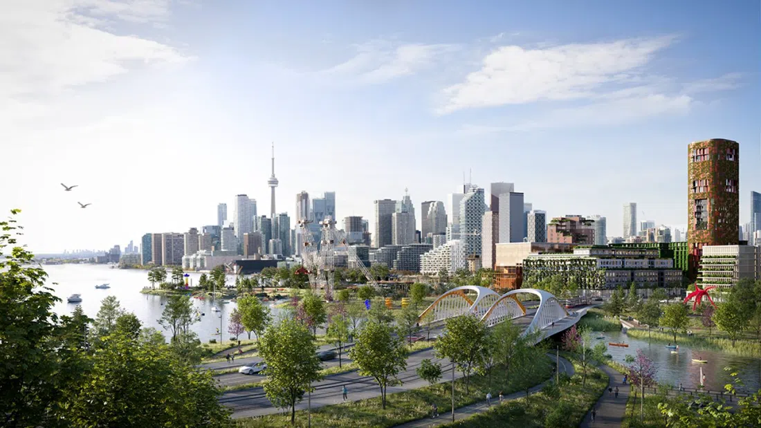
Biidaasige Park, Ookwemin Minising (Port Lands, formerly Villiers Island) is the counter-argument to everything above. Here the city is spending billions to un-bury a river mouth it spent a century filling in, giving the Don a new valley and a proper delta. The island was renamed Ookwemin Minising in late 2024 and the park's newest ten acres opened in July 2026, so use the current names. It is free and open parkland with no restrictions, reachable by TTC bus or, in season, the East-West water shuttle. Come here last. After a day spent reading valleys out of dips in the pavement, it is worth watching the process run backwards.
Checking the story against the maps
If you want to know exactly where the water ran under a specific street, the City of Toronto Archives (Spadina Road, above Casa Loma) will tell you. The Research Hall is free to walk into, Monday to Friday, 9am to noon and 1pm to 4pm. Book ahead if you want material pulled. The survey maps and Boulton atlas sheets show every creek line, and the oldest holding is an 1792 harbour map. Bring one specific street name and staff will find its water. This is a working reading room rather than an attraction: it suits one or two people with a question, and it does not suit a group.

Walking with someone who knows the ground
Lost River Walks (Toronto Green Community and Toronto Field Naturalists) invented this subject here. Running since 1995, roughly forty-five walks a year, drop-in and free, and the only dependable way to have the creeks pointed out to you in place rather than guessed at. Some walks draw a hundred people or more, so stand near the front if you want to hear. The schedule is seasonal, so check the Planned Walks page before you build a day around it. Custom walks and presentations for schools, companies and community groups can be requested through Toronto Green Community.

When the dates do not line up, Heritage Toronto Tours is the fallback. Their 2026 public season runs May to November with more than sixty walks, priced from free to about CAD 35 per person, and their natural-heritage walks cover the ravines and the lost shoreline well. Private tours and presentations are bookable through their request form and quoted individually.

Practical notes
Every stop here is reachable on the TTC. One tapped fare gives you two hours of transfers across subway, streetcar and bus, which is enough to cover the whole Garrison Creek route and get back. Day passes are worth it from about the third separate trip. The Brick Works shuttle from Broadview station is free.
May to early November is the practical window for the ravines: the boardwalks and the Vale of Avoca ice up in winter, and the trails hold mud for a day or two after heavy rain. Garrison Creek from Christie Pits to The Bentway is a comfortable half day at three to four hours including stops. Add one east-end ravine and the treatment plant grounds for a full day.
Almost all of it is free: every park, every ravine, both heritage sites, the archives, the Lost Rivers walks. Budget for transit, coffee, a paid guided walk if you book one, group admission at Fort York for parties of fifteen or more, and food at the Brick Works market. Cash is rarely needed; tap payment works nearly everywhere, including transit fares.
Ravine trails are unpaved, root-crossed and steep in sections, so wear proper shoes rather than city trainers. And the one rule that matters: Wychwood Park is somebody's street. Quiet, small, and brief.
For the Garrison Creek half of this, anywhere between Queen West and Bloor puts you on the route on foot; for the east-end ravines, look along the Queen East streetcar line. Compare rates and locations through Toronto hotel search before you fix the order of your days.