The Toronto issue
Into the Ravines: Toronto's Wild Country Below Street Level
A calm, walkable guide to the wooded river valleys that run beneath Toronto's street grid — where to start, how to link them by transit, and which suit a crowd versus a quiet pair.

By Robin KellerToronto on foot, neighbourhood by neighbourhood
Toronto sits on a plateau that rivers have cut into over thousands of years, and the city has spent a century building on the flat ground and leaving the steep ground alone. The result is a network of wooded ravines running below the street grid: you can walk down a set of stairs beside a subway entrance and, within a few minutes, be out of sight of every building, with only water and birdsong for company. This guide walks that system outward from its working heart, giving you the trains, the distances and the door realities as they come.
All of the places below are public and free to enter. None has a booking system, a guest list or a dress code — the only real gates are the physical ones: how wide the path is, how many stairs stand between you and the valley floor, and how much room there is at the top for a group to gather. I've flagged those as we go.
Start at the source: Evergreen Brick Works and the Don core
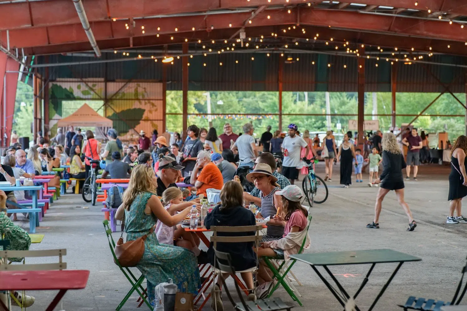
If you do one thing, begin at Evergreen Brick Works (Don Valley, below Bayview Avenue). It's a former brick quarry turned environmental centre, and it does the useful job of explaining the whole system before you set foot in it. Entry is free; there's paid parking on site, a weekend farmers' market where stalls take Canadian dollars, guided nature walks, and enough covered and open space that this is the one spot purpose-built for groups. There's no door policy and no reason there would be. From the flats you can walk straight up into the Don Valley trail network, so treat it as a hub rather than a destination in itself.
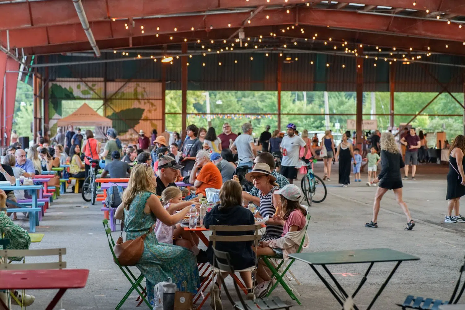
The honest catch is access. The Brick Works sits at the bottom of the valley with no subway at its door. On weekends and rush hours a free shuttle runs from Broadview station (about a 10-minute ride); otherwise the cleanest arrival is on foot, from above.
That walk down is Moore Park Ravine (Moore Park / Mount Pleasant). From the Mount Pleasant Cemetery area the trail drops through a wide, gently graded forest and delivers you to the Brick Works in 20 to 25 minutes. It's the classic "feels like deep woods, minutes from the subway" corridor, the path is broad enough for a group to walk two or three abreast, and it's the route I'd point most first-timers to. Reverse it on the way out if you want the climb at the end rather than the start.
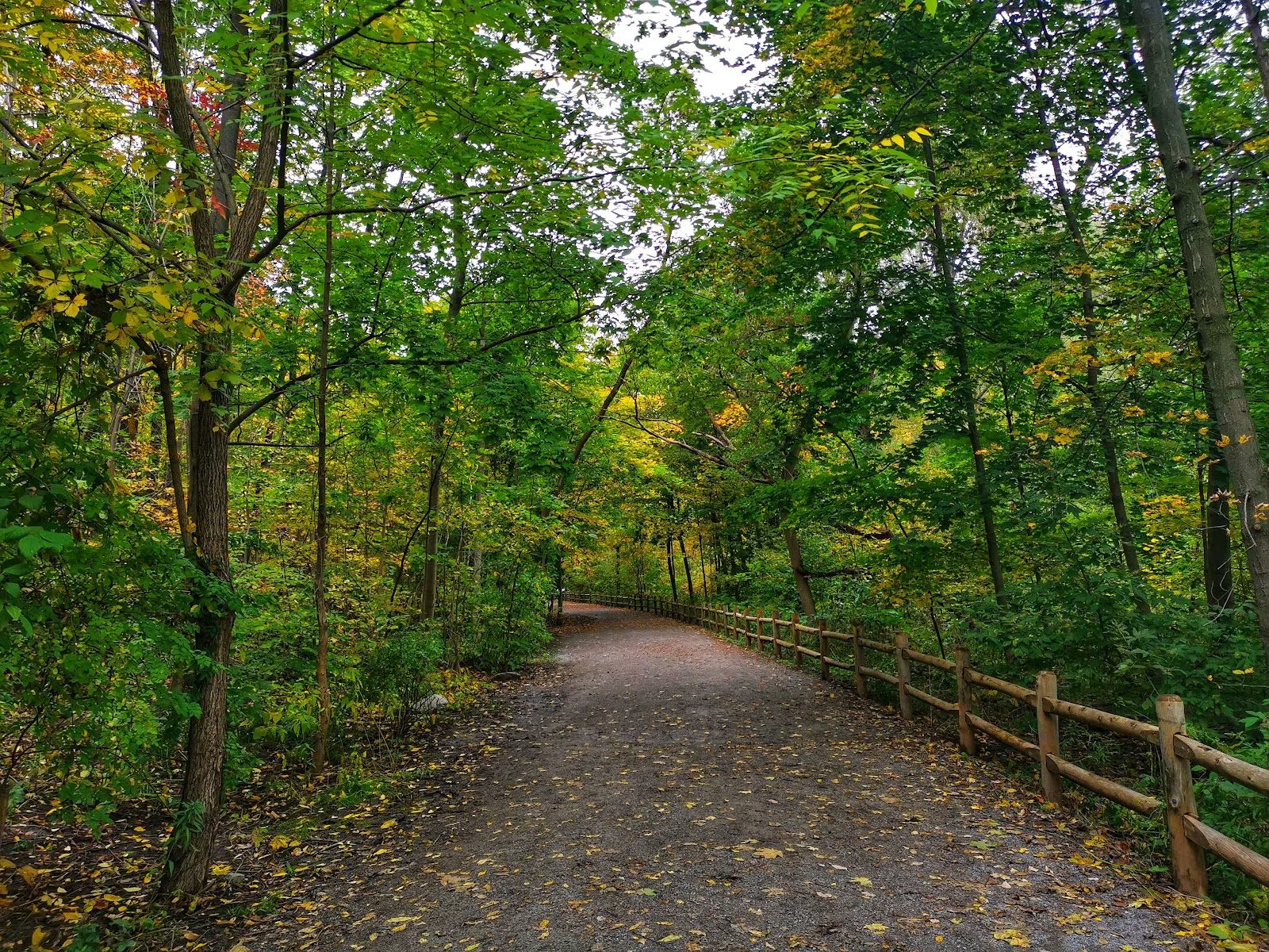
For something rougher, cross to Crothers Woods (Don Valley, near the Brick Works). This is a recognised Environmentally Significant Area — real forest, narrow dirt tracks, and Toronto's main in-city mountain-bike trails. It suits active pairs and small groups of walkers or cyclists; it is not the place to bring a large party or anyone expecting a level, stroller-friendly surface. Mind that you're sharing single-track with bikes, and stand aside for them.
Plan your Toronto trip
Live prices from our booking partners.
Free cancellation on many rooms. We may earn a commission when you book.
The midtown chain: St Clair West to Rosedale
The midtown ravines are the easiest to reach without a car, because the subway runs right along the top of them. Start at St Clair West station and walk into Cedarvale Ravine (Cedarvale / Forest Hill). This is the most approachable ravine in the city: a wide, flat, well-drained path through leafy wetland, rich in birds, with plenty of room. Families, larger groups and anyone uncertain on their feet will be comfortable here, and there are no stairs to speak of on the main line.
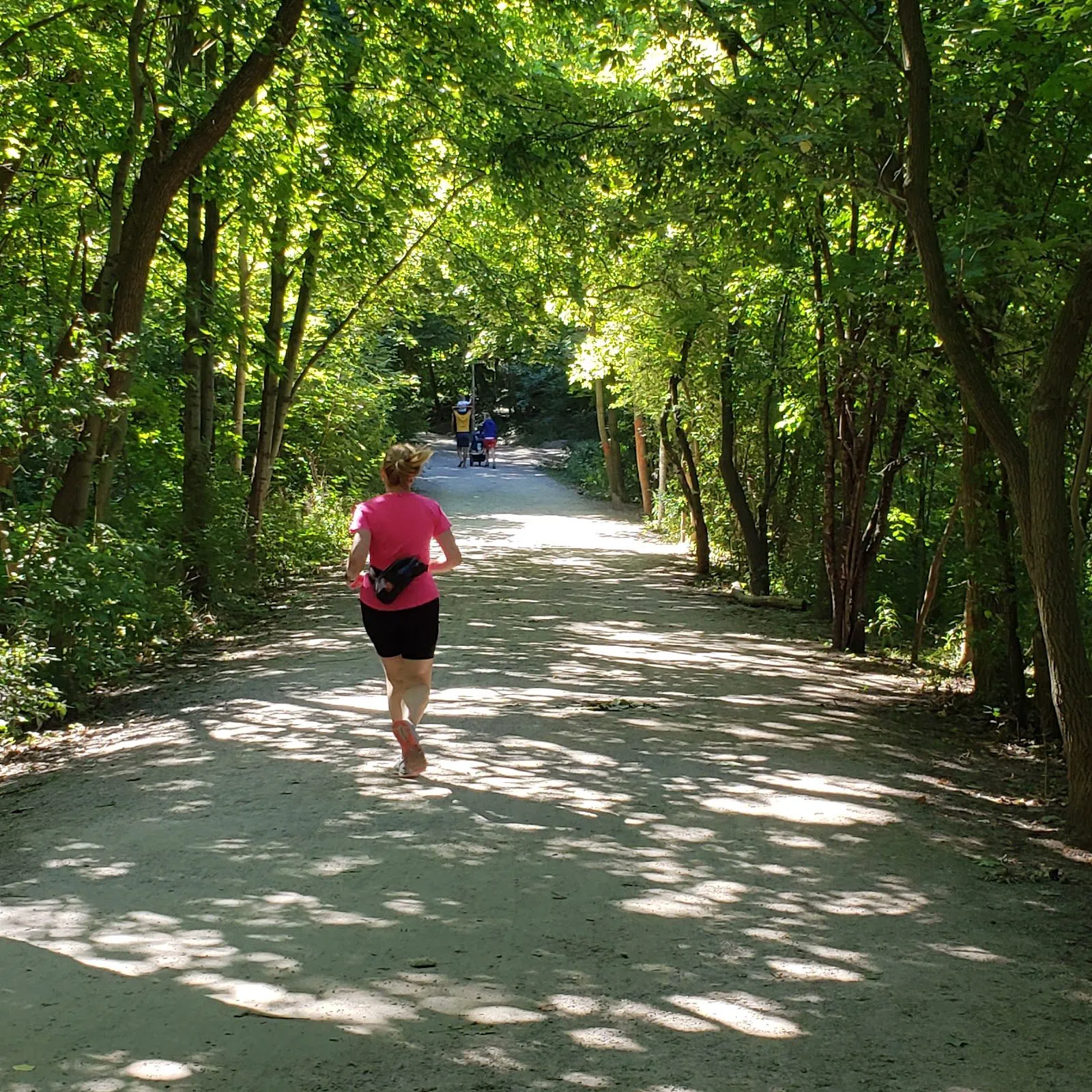
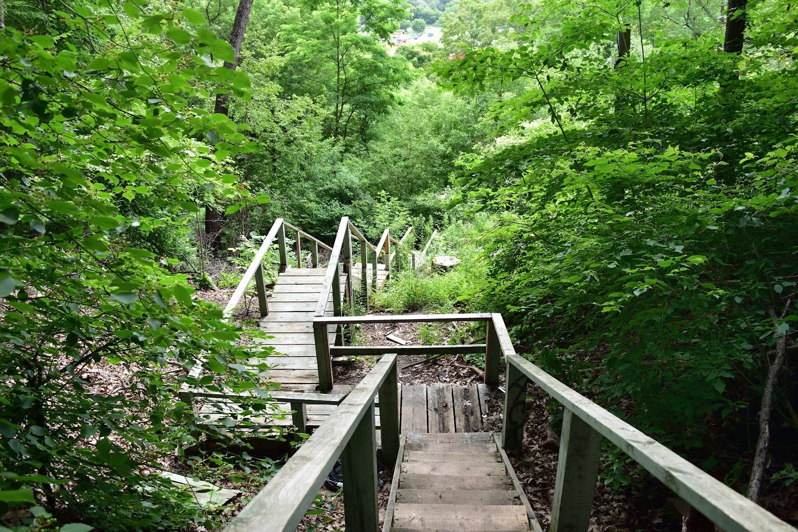
Cedarvale doesn't stop; it flows south-east into Nordheimer Ravine (Casa Loma / Spadina Road). The path narrows and the forest thickens — denser, quieter, a little wilder — so this stretch is better for pairs and small-to-mid groups than for a crowd walking abreast. You reach street level again via a set of steps up to Spadina Road, near Casa Loma, which makes a clean end point: from there it's a short walk to Dupont station. End to end, Cedarvale into Nordheimer is a relaxed 45 to 60 minutes.
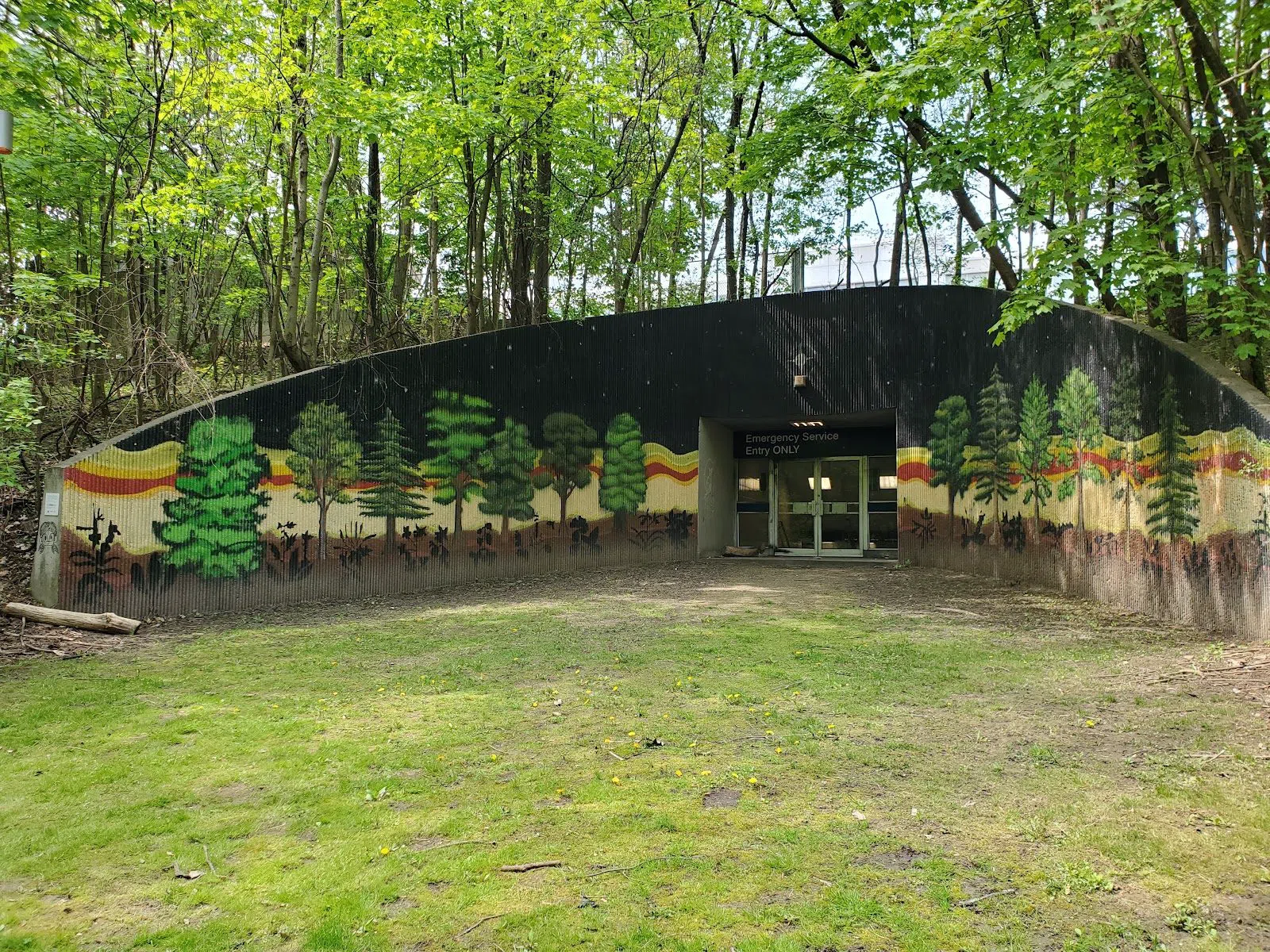
A little to the east, Rosedale Ravine (David A. Balfour Park) (Rosedale / Summerhill) threads through one of Toronto's oldest and wealthiest neighbourhoods. The trail is moderate in width and suits small groups; access is easy from Summerhill or Rosedale stations, both a few minutes' walk from the top. It's an atmospheric corridor of mature trees rather than a wilderness, and it links north toward the Beltline and south toward the Don, so it's useful as connective tissue if you're stitching a longer day together.
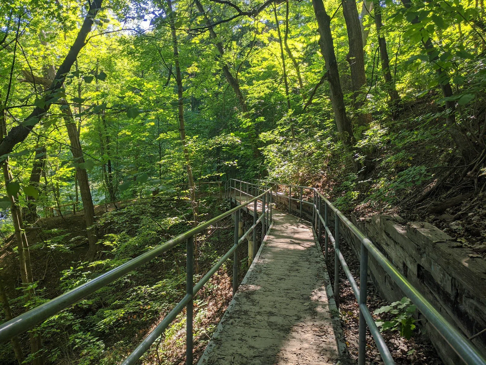
North midtown: the ravine walk you can do between two stations
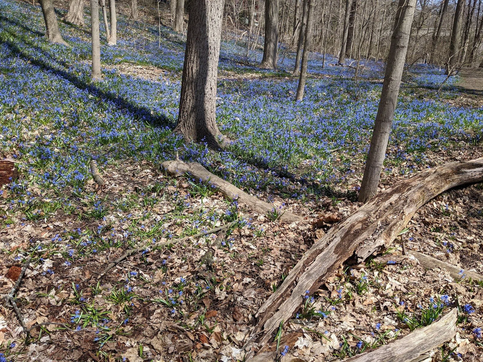
North of Eglinton, three ravines join into a single chain, and the city has signposted it as the self-guided Central Ravines Discovery Walk. The heart of it is Sherwood Park & Blythwood Ravine (Burke Brook) (Lawrence Park / Lawrence). From Lawrence station it's a short walk east to the valley, and the floor here is wide and open — good for groups, and dog-friendly, so expect to share the path with them. Chatsworth, Blythwood and Sherwood run together into one leafy, low-effort route; it's the gentlest way to spend a couple of hours in the trees this far north.
When you want a softer, more designed entry into the same valley system, use Sunnybrook Park & Wilket Creek (Edwards Gardens) (Lawrence Park / North Toronto). This is the polished front door: large lawns, ample paid parking, washrooms, and the Toronto Botanical Garden on site, all free to walk. The scale makes it the best pick in this guide for big groups, picnics and families with young children. From the formal gardens the paths run down along Wilket Creek toward the Don, so you can trade a manicured garden for a genuine creek valley within the same walk, then turn back when the group has had enough.
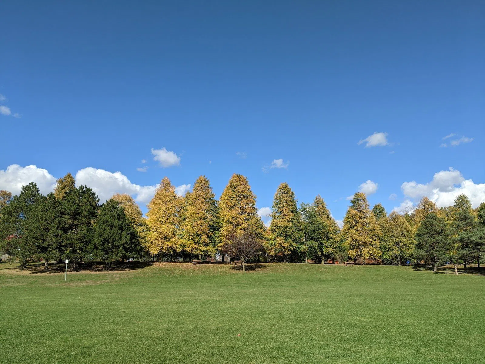
The east end: paved links and a pocket forest
The east end holds the most accessible ravine walk in the city. Taylor Creek Park (East York / Woodbine) is paved end to end, level, and open to strollers and bikes, with washrooms and parking. It's a key link in the Don Valley network and the natural choice for anyone who wants the valley without the mud or the stairs. Two honest notes: it's plowed through winter, so it stays walkable in the cold, but the creek can flood in early spring and close sections briefly. Come in with a fallback plan in March and April.
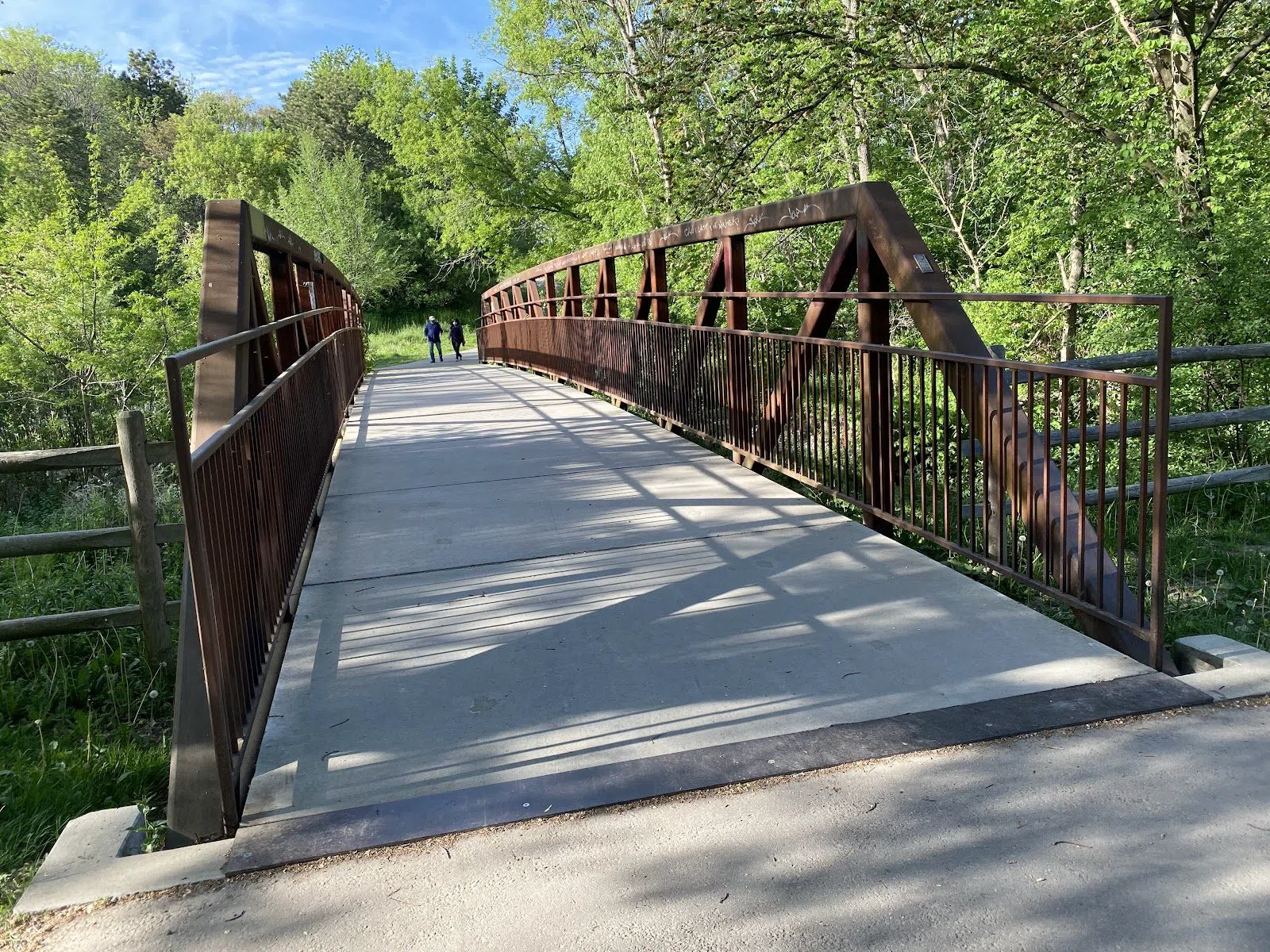
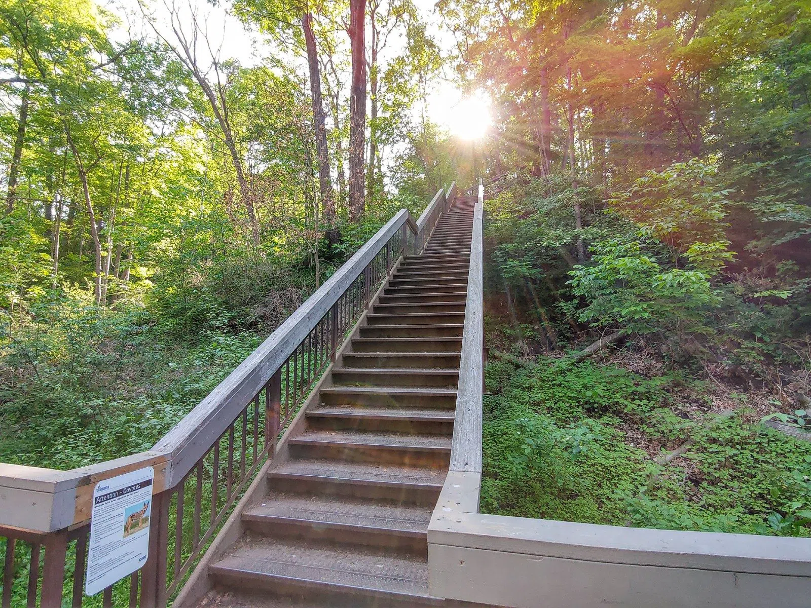
For something smaller and more atmospheric, ride out to Glen Stewart Ravine (The Beaches / Queen Street East). This is a compact pocket of red-oak forest reached by a set of steps down from Queen Street East, threaded by a boardwalk. Because it's small and well-loved, it works best for pairs and small groups; a large party will fill it. Its best use is as half a day rather than a whole one — pair it with a walk along the Beaches boardwalk and the lakefront a few minutes south.
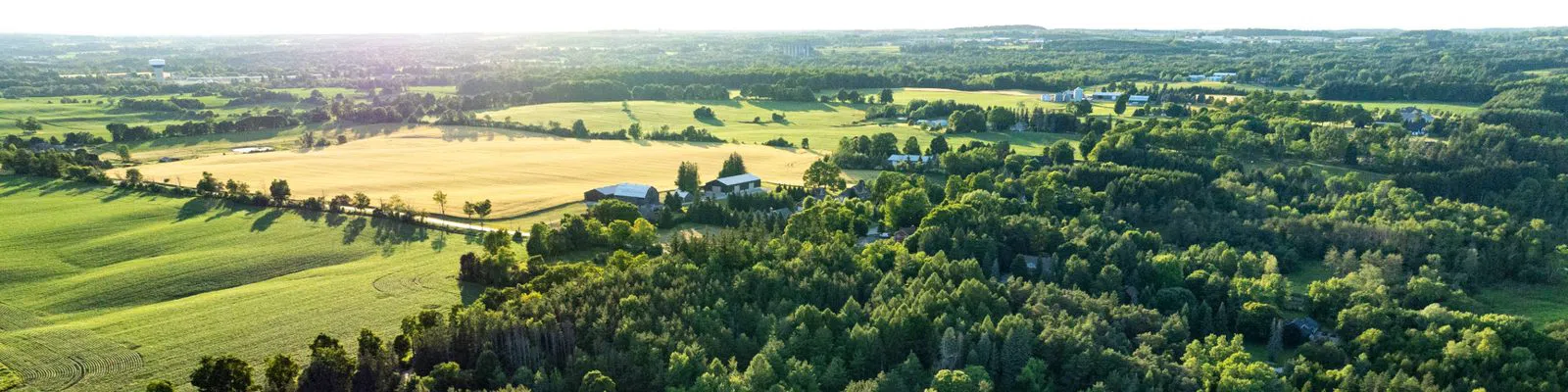
Further out sits the piece that isn't really a ravine at all but earns its place: Rouge National Urban Park (Scarborough / east Toronto). This is North America's largest urban national park, a genuine river-valley wilderness inside city limits, run by Parks Canada with guided group hikes and school programs. There are several parking lots and both TTC and GO access, and the 80-kilometre trail network is fully open. The one caveat for 2026: the Rouge Beach and waterfront section is under restoration until 2027, so plan around the inland trails rather than the shore. This is a day of its own, not an add-on.
The west end: the Humber and High Park
The Don gets most of the attention, but the west end has its own valley. Humber River Valley (James Gardens) (Etobicoke / west Toronto) runs along a river designated a Canadian Heritage River, with a wide multi-use trail that suits groups and cyclists and the prettiest formal ravine gardens in the city. There's parking at James Gardens, and the flat, paved sections make it easy going. It's the west-end counterpart to the Don core — quieter, and less known to visitors.
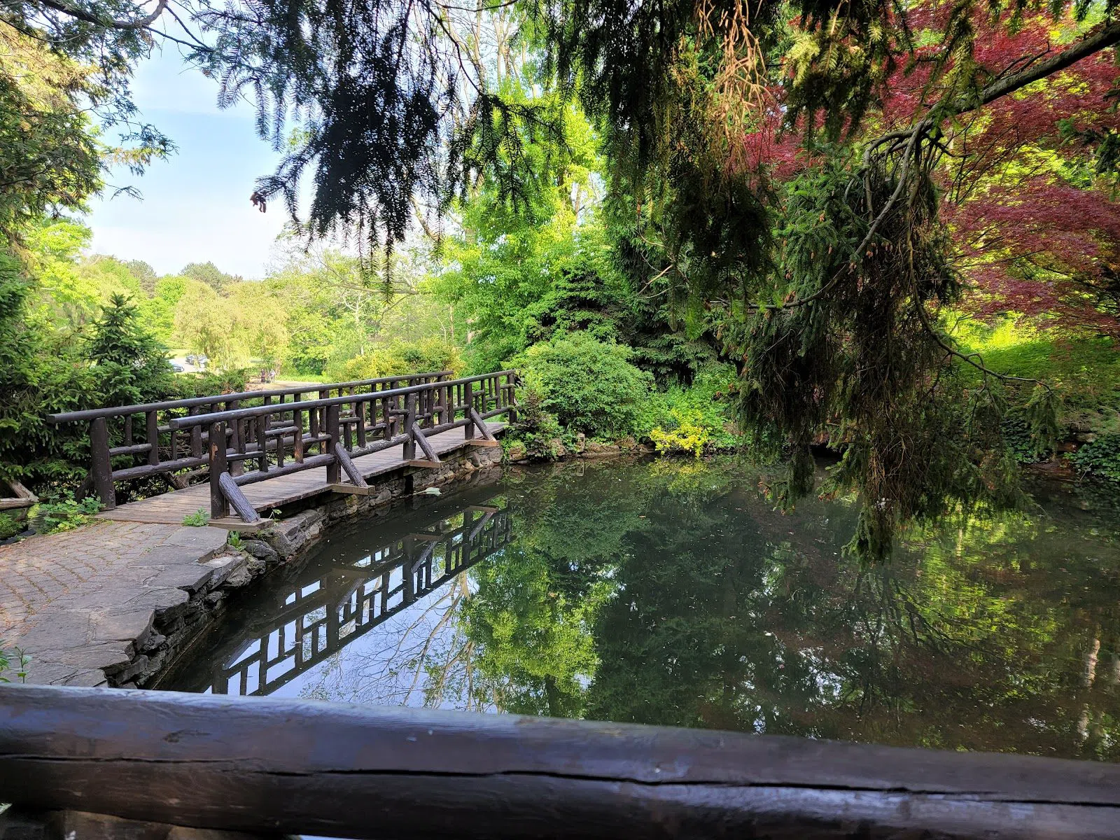
Finally, High Park (Spring Creek Ravine & Grenadier Pond) (Roncesvalles / High Park). It's Toronto's largest park rather than a pure ravine, but its Spring Creek valley and Grenadier Pond anchor the west-end system, and the practicalities are hard to beat: ample parking, washrooms, a free zoo and gardens, and space enough for large groups. The one thing to know is timing — the cherry-blossom bloom in spring draws crowds from well beyond the city, and for a week or two the park is genuinely busy. If you want the ravine quiet, come outside the bloom, or come early.
How to plan the day
Getting there. The midtown and north-midtown ravines are the ones you can do entirely by subway — Cedarvale from St Clair West, Rosedale from Summerhill, the northern chain from Lawrence. The Brick Works is the exception: use the free weekend shuttle from Broadview station, or walk down through Moore Park. Taylor Creek, the Humber and Rouge reward having a car or a bit of patience with buses; Rouge also has GO access.
Cash and cost. Every ravine in this guide is free to enter. Where you'll spend Canadian dollars is parking (paid at the Brick Works, Edwards Gardens, James Gardens and High Park), the Brick Works weekend market, and public transit fares. Carry a little cash or a tap card; not every lot takes coins.
Timing. Late spring through autumn is the straightforward season. Winter walking is real here — Taylor Creek is plowed and the wider paths stay open — but the narrow forest tracks in Nordheimer and Crothers Woods can ice over, so wear grip. Early spring brings meltwater: Taylor Creek can flood and the Rouge trails run muddy. Go in the morning for the ravines near cherry blossoms or popular boardwalks, and you'll have them closer to yourself.
Groups versus pairs. For a large group, picnic or family day, point yourself at Edwards Gardens, High Park, Taylor Creek or the Brick Works — wide paths, washrooms, parking, room to gather. For a quieter walk as a pair, Nordheimer, Glen Stewart and Crothers Woods give you the denser, narrower, more secretive stretches. Cedarvale and the northern chain sit comfortably in between.
Where to base yourself. Staying in midtown or downtown puts the subway-served ravines within a short ride; a Toronto hotel search around the St Clair, Rosedale or Bloor corridors keeps you closest to the greatest number of trailheads. For everything else the city offers between walks, see the full Toronto guide.
The ravines reward being taken slowly and in sequence. Pick one valley, walk it end to end, climb out at a station you didn't come in by — and you'll have seen a side of the city that the street map keeps almost entirely to itself.
Before you go
Where should I start exploring Toronto's ravines?
Begin at Evergreen Brick Works in the Don Valley below Bayview Avenue. It's a free former quarry turned environmental centre with parking, a weekend market and guided walks, and it explains the whole system before you walk up into the Don Valley trails. Reach it by the free weekend shuttle from Broadview station or on foot down Moore Park Ravine.
Can I visit the ravines using public transit instead of a car?
Yes, for most of them. The midtown and north-midtown ravines sit right below subway stations — Cedarvale from St Clair West, Rosedale from Summerhill, and the northern Sherwood–Blythwood chain from Lawrence. Taylor Creek, the Humber Valley and Rouge National Urban Park are easier with a car, though Rouge also has GO and TTC access.
Which ravines are best for large groups or families?
Choose the wide, serviced ones: Sunnybrook Park and Edwards Gardens, High Park, Taylor Creek Park and Evergreen Brick Works all have broad or paved paths, washrooms, parking and room to gather. Narrower stretches like Nordheimer Ravine, Glen Stewart Ravine and Crothers Woods suit pairs or small groups better.
Do any of the ravines charge admission or require booking?
No. Every ravine and park in this guide is public and free to enter, with no door policy or reservation needed. You'll only spend Canadian dollars on paid parking (at the Brick Works, Edwards Gardens, James Gardens and High Park), the Brick Works weekend market, and transit fares.
When is the best time of year to walk the ravines?
Late spring through autumn is the most straightforward. Winter walking works on the plowed, wider paths like Taylor Creek, but narrow forest tracks can ice over. Early spring brings meltwater that can flood Taylor Creek and muddy the Rouge trails, and the High Park cherry blossoms draw crowds for a week or two — come early if you want quiet.